HARMONIE (KNMI-EU)The selected time, variable and region is available for this model. HARMONIE is developed in a european consortium and this is the output provided by the KNMI at the supercomputing facilities in Iceland. The output from Cy43 is available at a rotated lat-lon grid and regridded at our server to a grid spacing of 0.05 degree. These data are the raw data provided by the KNMI. The model is reinitialized every hour and run up to 60 hrs ahead.


Member:
OP 0Mon 30 Jun 00:00
6Mon 30 Jun 06:00
12Mon 30 Jun 12:00
18Mon 30 Jun 18:00
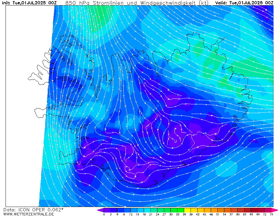
24Tue 01 Jul 00:00
30Tue 01 Jul 06:00
36Tue 01 Jul 12:00
42Tue 01 Jul 18:00
48Wed 02 Jul 00:00
54Wed 02 Jul 06:00
60Wed 02 Jul 12:00
66Wed 02 Jul 18:00
72Thu 03 Jul 00:00
78Thu 03 Jul 06:00
84Thu 03 Jul 12:00
90Thu 03 Jul 18:00
96Fri 04 Jul 00:00
102Fri 04 Jul 06:00
108Fri 04 Jul 12:00
114Fri 04 Jul 18:00
120Sat 05 Jul 00:00
126Sat 05 Jul 06:00
132Sat 05 Jul 12:00
138Sat 05 Jul 18:00
144Sun 06 Jul 00:00
150Sun 06 Jul 06:00
156Sun 06 Jul 12:00
162Sun 06 Jul 18:00
168Mon 07 Jul 00:00
174Mon 07 Jul 06:00
180Mon 07 Jul 12:00
help
Download GIF
hover
Single-variable mode
You are now in the multi variable mode. Select all the variables of interest and they will be plotted side-by-side in a grid.
You are now in the multi variable mode. Select all the variables of interest and they will be plotted side-by-side in a grid.
URL of this map